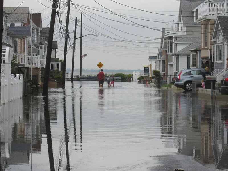
NYC confronts climate crisis reality with coastal rezoning plan
/
By Rachel Vick
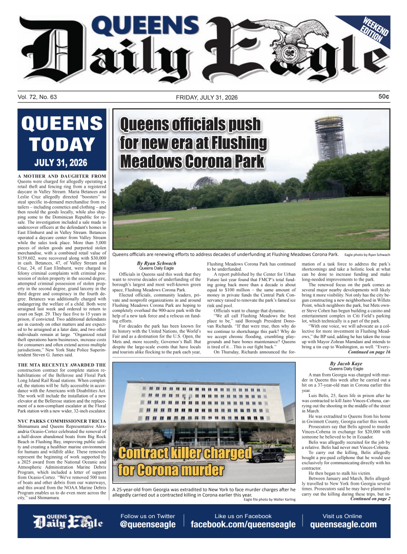
Eight years after Hurricane Sandy devastated parts of the five boroughs, the Department of City Planning has introduced a new rezoning plan designed to shore up coastal communities, with particular emphasis on low-lying parts of Queens.
The Zoning for Coastal Flood Resiliency plan focuses on amending neighborhood zoning to fortify buildings and infrastructure as sea levels rise and threaten more than 500 miles of New York city coastline. The plan entered the public review period Monday.
“Hurricane Sandy continues to serve as a painful reminder that we must continue to adapt to the ever-so-real threats of climate change,” City Planning Commission Chair Marisa Lago said. “This includes updating our zoning to help New Yorkers build, and rebuild, more resiliently.”
The plan outlines four recommendations to improve resiliency: expanding the area that is designated as part of New York City’s floodplain, updating resilient building standards, amending zoning to allow for the relocation of essential equipment like electrical systems and updating laws to facilitate faster rebuilds in case of future disasters.
The plan limits the construction of new nursing homes in areas at a high risk for flooding, including most of the Rockaway Peninsula, and parts of northern Queens near Flushing Bay.
A separate proposal would ban the construction of most new attached homes, which are difficult to raise on stilts in Old Howard Beach. The plan would limit the damage from flooding and storm surges, the report states
Current resiliency zoning provisions were adopted on a temporary basis in 2013 and expire upon the release of new NYC flood maps from the Federal Emergency Management Agency sometime in the next five years, according to a representative from the Department of City Planning.
There are seven months for the public to review and respond to the coastal zoning plan, which will be presented to community boards throughout the city and all five borough presidents. The Old Howard Beach proposal will be reviewed only by community Board 10 and the Queens borough president.
Coastal communities are at an increased risk for flooding, both from major storms and the regular flow of the tide. So-called “sunny day” flooding events — when the tide comes in further than the average high tide, and can turn streets into swamps, even without a storm — are accelerating at 75 percent of locations surveyed along the East Coast, including New York City, according to the National Oceanic and Atmospheric Administration.
Several environmental and sustainability organizations have praised the rezoning plan.
“Zoning for Coastal Flood Resiliency in New York City is an important step towards reducing barriers to resilient, nature-based waterfront design and allowing for needed resiliency in flood zones,” said Waterfront Alliance President Cortney Worrall. “At a time when our region’s waterfronts are rapidly changing amidst the rising challenges of climate change, these zoning changes are [key].”
Correction: A previous version of this article indicated that the rezoning plan would ban new senior housing in areas at high risk for flooding. The plan would actually ban new nursing homes.